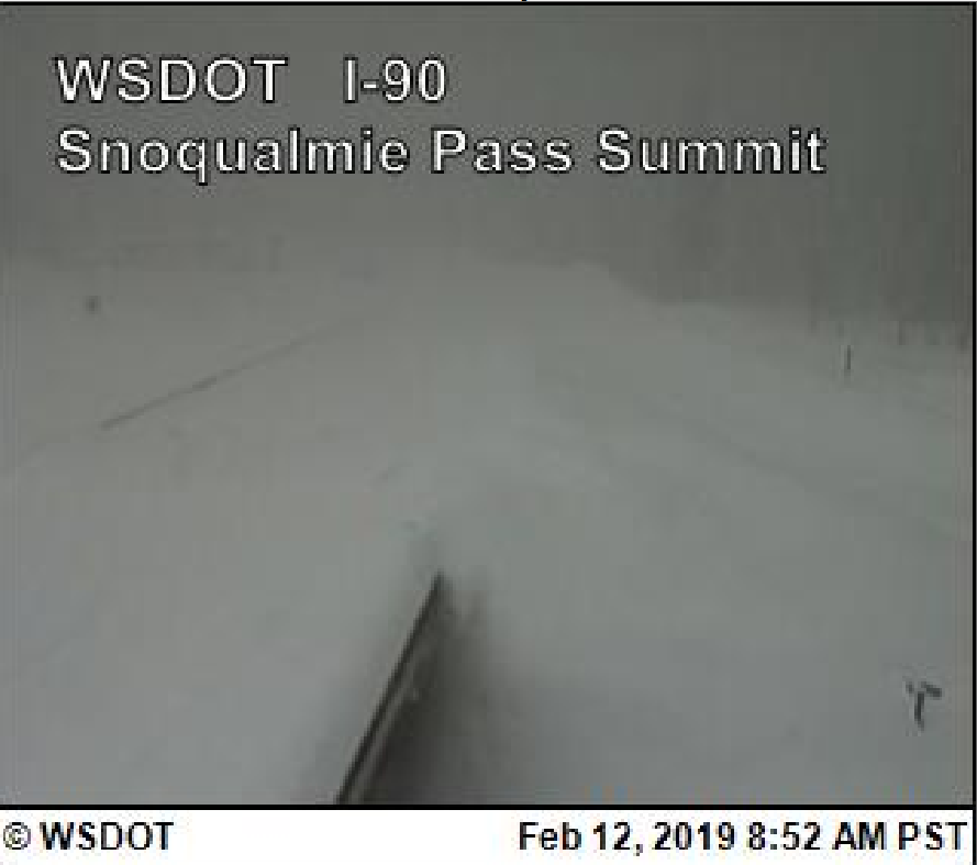
The snow totals from this storm have been incredible in the Cascades with around 50" of snow reported at Snoqualmie Pass over the past two days. I-90 was closed as of this writing and here is the web cam from 9 am this morning.
Stevens Pass was also closed as of this writing, with a web cam at Coles Corner proof of this.

Heavy snow has also been falling around the Priest Lake area along with many areas of NE Washington into the Idaho Panhandle. Bonners Ferry has also been hard hit with amounts in excess of 15". We received a spotter report near this area of 23"from 10 PM Monday - 2 PM Tuesday with a location 7 miles northwest of Moyie Springs . Here is an image from Priest Lake.

Here is a map of the heavy snow reports we have received through this afternoon over this area.
 |
| Snowfall reports received since this morning over NE Washington and North Idaho |
Over southeast Washington, temperatures have warmed as predicted into the mid and upper 30s with a mild 43F in Lewiston. But now comes the second part of the storm as a cold front sags into the region and stalls over SE Washington overnight into Wednesday morning. Pullman/Moscow areas should receive significant snowfall. Here are the additional snowfall amounts forecast 4 PM Tuesday to 4 PM Wednesday.
 |
| NWS Forecast of additional snowfall 4 PM Tuesday - 4 PM Wednesday |
Note the lower snow amounts for the Lewiston-Clarkston area as rain or rain/snow mix will be the predominant precipitation type below 1500 feet.
Snow will impact the Wednesday morning commute for most locations from Moses Lake to Sandpoint and points south with the HRRR model shown here at 4 am showing snow falling over much of the region.
 |
| HRRR model forecast valid 4 AM PST Wednesday, February 13th, 2019 |
But we aren't done with the snow after this storm with another one on its heels. Here is a satellite image from late this morning.

Here is our preliminary snowfall forecast for snow amounts with this storm. This one will have some warmer air initially over the palouse and this could also impact snow amounts from Ritzville up through the Spokane/Coeur d'Alene area. Localized freezing rain can also not be ruled out. So this region carries lower confidence.
 |
| Preliminary NWS snowfall forecast valid 10 AM Thursday, February 14th - 4 PM Friday, February 15th |
This storm will feature a surface low tracking up across Eastern Washington. If this track holds areas north and west of the low center would be on the cold and snowy side of the low.
Here is the GFS model showing the low track into the region late on Valentine's Day (Thursday). The green indicates high moisture content.
4 PM Thursday (low over Central OR)
 |
| 12z GFS forecast of MSLP and 700-500mb Relative Humidity (image) valid 4 PM Thursday, February 14th, 2019 |
7 PM Thursday (low over SE WA)
 |
| 12z GFS forecast of MSLP and 700-500mb Relative Humidity (image) valid 7 PM Thursday, February 14th, 2019 |
The exact track of the low will be critical for nailing down the snow amounts. To get an idea of the uncertainty, here is a model ensemble forecast of snow amounts going into Friday. First we will start with Spokane, then Ephrata. The black line is the average of all the members while the blue line is the high resolution operational run of the GFS model.

For Spokane, you see some snow tonight (around 2" between 00z-12z 13th), a dry period, and then more snow on the 14th and 15th but a big range in amounts indicating high uncertainty.

Looking beyond this storm, models show more opportunities for snow but no big storms are showing up after Friday. But of course this is further out into the forecast and subject of change. One thing carries very high confidence, a continuation of below normal temperatures with today's outlook issued from the Climate Prediction Center agreeing with this idea.
 |
| CPC 6-10 day temperature and precipitation outlook issued February 12th valid February 18-22nd, 2019. |
No comments:
Post a Comment